-40%
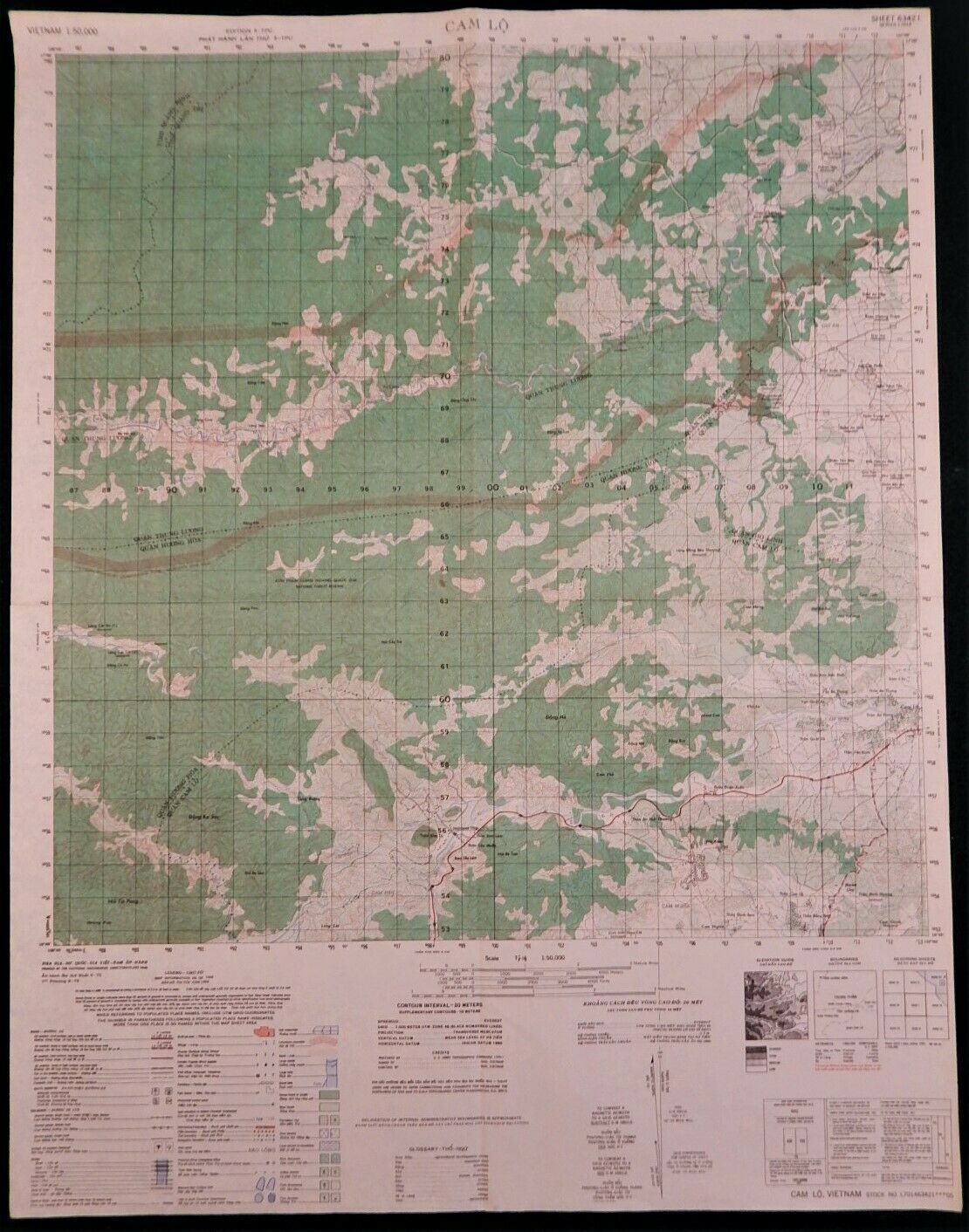
MAP - VIETNAM - BACH MA - RECON RADIO RELAY SITE - 6541-II
$ 52.27
- Description
- Size Guide
Description
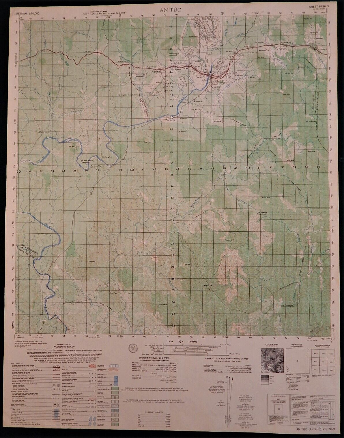
MAP – VIETNAM WAR – BACH MA – Map #6541-IIThis map prominently depicts the old French mountaintop plateau where French aristocrats built their palace-like villas to escape the heat of the lowlands.
The French used this resort area during their colonization of Vietnam and during the Indochina wars, because it was easy to defend.
This map is an original 1:50,000 U.S. military combat map. It is not a copy or a reproduction. It is the real deal and very rare.
It is an important piece of history.
The map pictured is the map you get.
The map shows the French resort area atop Hill 1408, better known as White Horse Massif. It also has the headwaters of Cu De River (which flows out to Da Nang Bay through Elephant Valley) and Fire Support Base Sledge. Please understand that many of the English names are not printed on the maps. For example: FSB Sledge is a popular name given by American troops, so those type of names will not appear on the maps. This map contains some of the most rugged jungle mountain terrain in the I-Corps Tactical Zone.
Google any of these places (add “Vietnam” in the search box) and you’ll understand the extreme wartime importance of each of these places.
This map measures 29” high x 22.5” wide.
It is dated 1965 updated 9-70.
The price includes free shipping within the lower 48 States. All others will pay only the actual shipping/duty costs (no handling fees).
NOTE: 10% of the sale price will be donated to
Vietnam Battlefield Tours
, a non-profit tour company that operates tours to the jungles, mountains, firebases, and battlefields of Vietnam for veterans, their widows and orphans, family members, historians, active-duty military personnel, and interested others.
PS: I have other combat 1:50,000 Vietnam original maps. Message me through eBay and I'll let you know if I have what you need.


